System for detection and correction of hot spots in public spaces in small urban areas.
Details
Acronym: PAULIA
Reference: CPP2022-009932
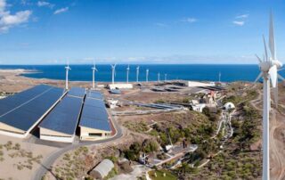
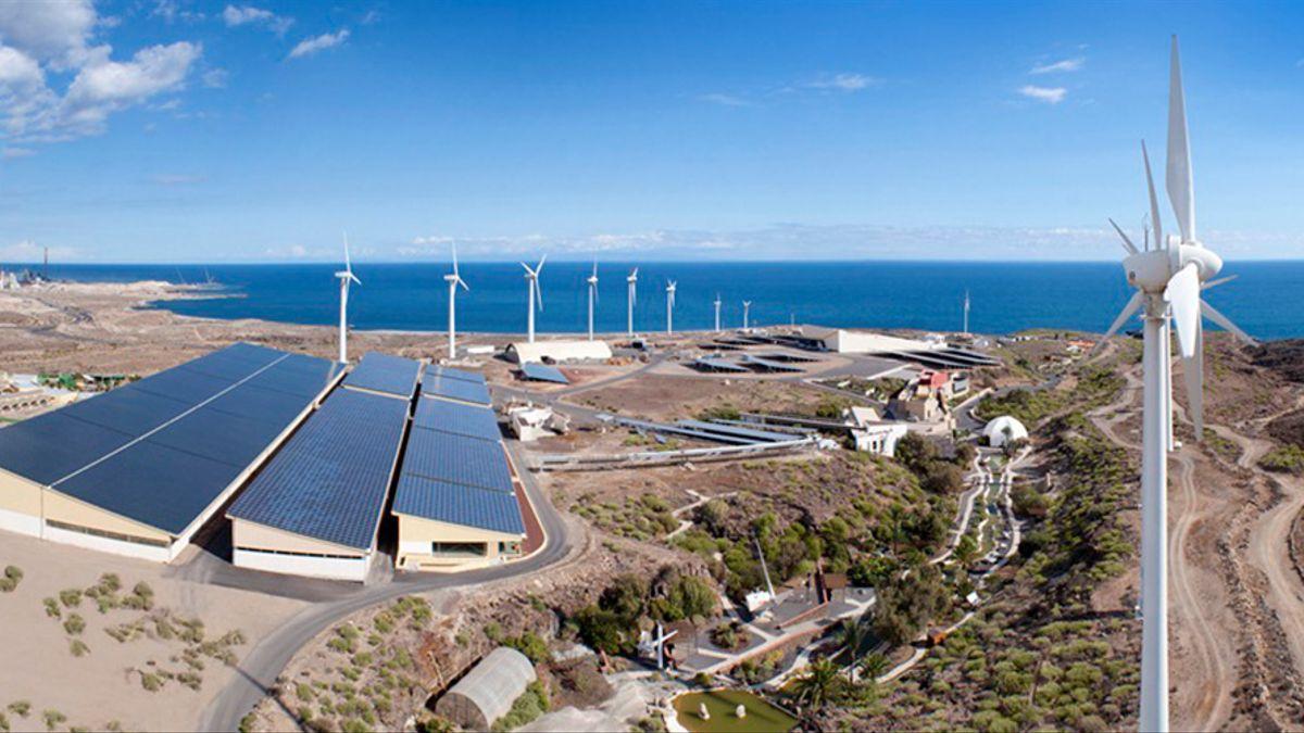
Partners: Instituto Tecnológico y de Energías Renovables (ITER), Instituto de Ciencias de la Construcción Eduardo Torroja (IETcc-CSIC), el Real Jardín Botánico (RJB-CSIC) and los Servicios Municipales de Granadilla (SERMUGRAN).
Duration: 2023-2026
Budget: 754.801,38 €
Co-Financing: Public-Private Collaboration 2022. State Plan for Scientific, Technical Research and Innovation 2021-2023. Ministry of Science and Innovation. Project CPP2022-009932 is financed by the MCIN/AEI (10.13039/501100011033) and by the European Union NextGenerationEU/ PRTR..

Overview of the project
The general objective of this project is to develop an integrated tool to assess small urban areas with climate vulnerability, detect hot spots and provide solutions for action linked to the type of ground cover material and the index and typology of vegetation used as determinants of the temperature of the ground surface and the microclimate in outdoor spaces, which will contribute to the optimisation of public spaces in these areas.
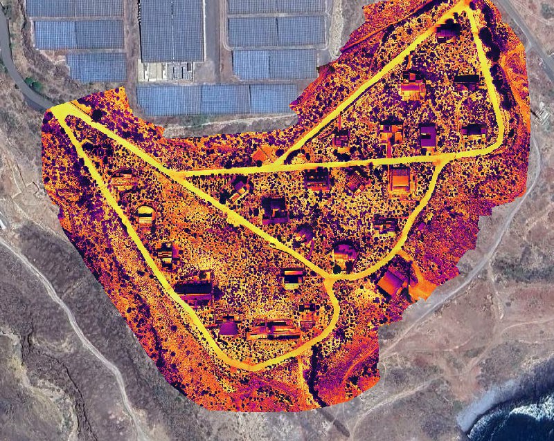
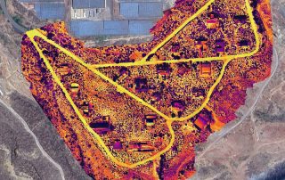
To this end, the methodology for the evaluation of small urban areas and the detection and analysis of hot spots will be established through mapping by means of meteorological sensors and multispectral aerial images acquired with drones in combination with satellite images that will enable mass measurements in specific contexts, making it possible to record the climatic behaviour associated with each typology of urban public space and the dynamic image that will facilitate knowledge of climatic movements between the different spaces.
Based on the initial mapping of the urban area, a forecast of action points will be made and the necessary corrections will be determined so that the ground surfaces and green areas of these public spaces collaborate in the mitigation of the observed climatic deviations.
During the implementation of the project, environmental data and multispectral drone images will be continuously collected in the case study areas to build a dataset for the training of climate anomaly detection models. Spatio-temporal prediction models will also be generated to build future maps of environmental variables.
In summary, through the analysis of the small urban area, vegetation models to mitigate the termal effect, the climatic influence of ground cover materials, the bioclimatic design of public spaces, unmanned aerial vehicles (UAS), optical sensors for multispectral image capture, artificial intelligence for the generation of detection and prediction models, the aim is to contribute to the solution of an incipient problem with a high economic, social and environmental impact.