The field work allows for confirmation in the field of the parameters analyzed for the initial selection of the action nuclei.
PAULIA is a project funded by the Ministry of Science and Innovation through the State Research Agency /10.13039/501100011033 and by the “European Union NextGenerationEU/PRTR”, involving ITER, the public company SERMUGRAN and the main public research organization in Spain, the State Agency Consejo Superior de Investigaciones Científicas (CSIC), which participates in the project through two research centers: the Instituto de Ciencias de la Construcción Eduardo Torroja (IETcc-CSIC) and the Real Jardín Botánico (RJB-CSIC).
The overall objective of this project is to develop a comprehensive tool to assess urban areas with climate vulnerability, detect hot spots and provide solutions for action linked to the characteristics of soil materials and the index and typology of vegetation used as a determinant of the temperature of the ground surface, contributing to the optimization of public spaces in small urban areas.
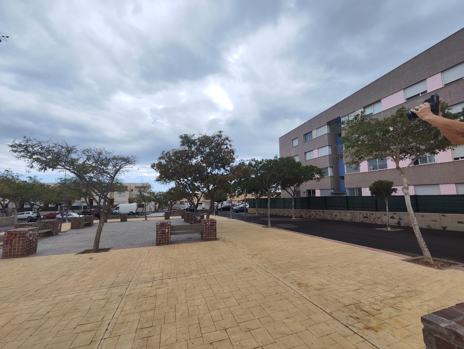
The fieldwork began in the urban public spaces of San Isidro, mainly squares and parks. These spaces have been previously determined in planimetry, classified into landscaped squares or hard squares, depending on the presence of vegetation. Information of interest for the continuity of the project has been collected from these spaces, such as the types of floor finishes they present so that the Eduardo Torroja Institute of Construction Sciences can start working on the albedo characteristics, the state of the existing green areas was determined by noting the size of the vegetation and the radius of the crown in the case of the existing trees and documented with photographs that can be used by the Royal Botanical Garden to make a first identification and characterization of the plant species present.
We also proceeded to verify that the buildings or spaces surrounding the public spaces are in accordance with the cadastre planimetries.
Thermal photographs were taken to get an initial estimate of the different areas of the squares. These first thermal photos are taken at ground level, so they will not provide as many parameters as those that can be obtained with those taken from the air with a drone, but with them you can see, for example, the difference between the heat emitted by the different pavements and therefore establish another parameter to better determine the spaces. These thermal photographs will be taken with the thermal cameras of the ITER energy efficiency field laboratory, the Lave qua was created with the co-financing of the INTEREG MAC 2017-2023 program in the framework of the MACLAB-PV project.
The feasibility of the spaces for the subsequent installation of the sensors was also evaluated, identifying the existence of locations for the sensors that would allow obtaining measurements of interest but at the same time be protected from vandalism.